Written by Gunnar Barera
Trail safety is always important. Whether you’re a seasoned runner/hiker or new to the trails, it’s always a good idea to be prepared, aware of what’s to come, and to have proper gear. Conditions on the trails change with the weather and seasons.

Below are a few tips and a checklist to help you get ready for a mountain adventure.
- Check the forecast leading up to your trip and the day before.
- Load a map of your route onto your watch or phone.
- Check conditions (Alltrails.com, Rangers, or local mountain shops.)
- Pack proper gear for the trail and weather.
- Have a satellite communicator such as a Garmin inReach.
- Bring sufficient food and water.
- Have a plan and be okay with turning back at any point.
- Tell a friend or loved one the trail you will be doing and an estimated time of completion.
- Enjoy the day and fun!
Check the Forecast and Route Conditions
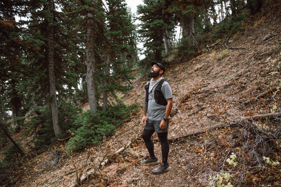
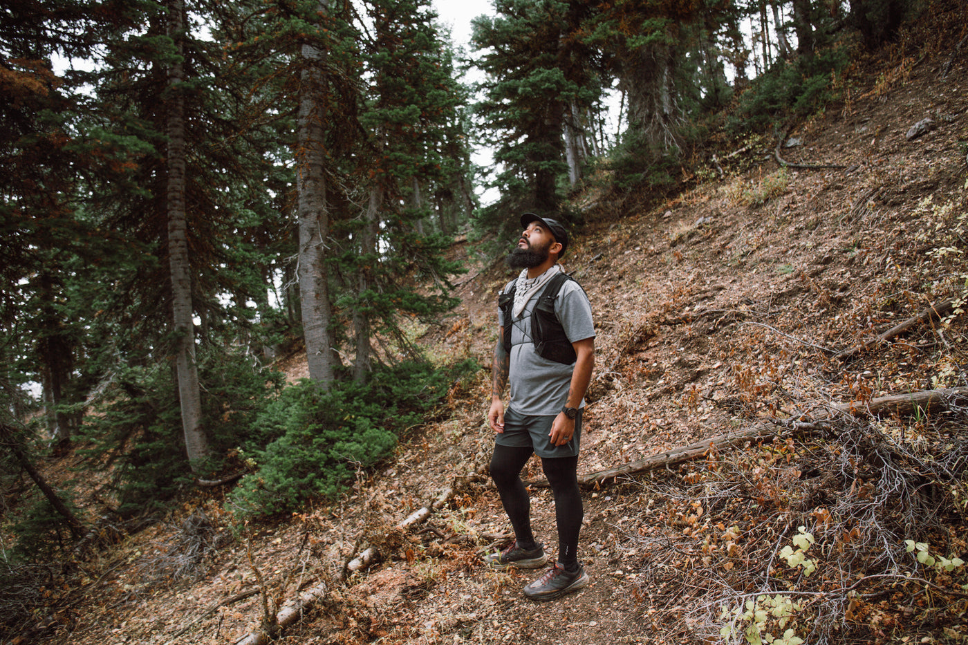
A few weeks ago, some friends and I had the idea to summit Mount Langley via New Army Pass in the Eastern Sierras. We thought the trails and roads would be closed due to recent weather that hit the area. Although the forest website stated that the roads were closed, we called directly for clarification. Rangers confirmed the roads were open and an attempt to summit would be possible. We also checked AllTrails.com to gather more information on the trail conditions. This is a great online resource that allows people to leave feedback on the trail. There is also a paid version that allows you to download routes to your phone and access them offline.
We set out on our weekend to explore the Sierras. The weather leading up to the day looked promising. However, mountain weather is unpredictable, and it started to look different the day before. What was forecasted as a clear day changed to what seemed to be cloudy with rain and wind. As we arrived in town, we paid a visit to a local mountaineering store, Big Willi Mountaineering Co., in Lone Pine, CA. The owner is an awesome guy and a great resource for everything in the area. Just outside his shop you get amazing views of Mount Whitney and Mount Langley.
Despite the unexpected weather, we asked for advice and what the trail conditions were like. The shop owner provided us with additional confidence that a summit was possible and ensured us that the gear we had would be enough. With weather expected to roll in around the early afternoon, we opted for an earlier start time – 4:30 am.
Plan Ahead and Prepare

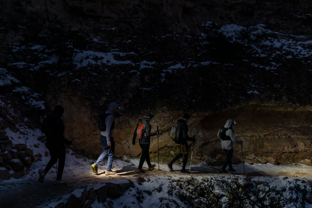
As we prepared for our adventure the night before, we made sure the route was loaded to our watches. A friend had a GPS satellite communicator that pinged his location in real-time. It is a great investment for those going into areas without cell service, as it allows for emergency services to be reached. Hopefully that is never the case for anyone, but remember that it’s always a possibility. Now, since this is a self-supported event, we needed to make sure we loaded our packs with everything we needed. We had our nutrition and water, extra layers (puffy jacket, shell jacket, and gloves), and headlamps.
On the day of the run, we ended up starting close to 5 am. However, this made it so we saw some familiar faces at the trailhead parking lot. We set some ground rules for our group: If at any point the weather got to be unsafe, we would turn back. No need to peer pressure anyone to do anything they aren’t comfortable with. The mountain will always be there. Although we started ahead, we wound up joining forces with the group we met earlier. This ended up helping both groups in more ways than we knew. Strength in numbers was the way we looked at it.
Have a Plan and Work as a Team

The trail conditions were great, but the more we ascended, the more complicated it got, and where having the route on the watch came in handy. With low visibility closer to the summit, our only option was to keep going up and try to find the next cairn to ensure we were still on track. This is where knowing and preparing for the weather can alter your route and the trail itself. We stuck to the buddy system, and each person had the map on their watch or phone so we would know where to go. When we finally reached the summit, we had no views. The wind picked up, and the temperature dropped. Having some extra layers came in handy when waiting for everyone to regroup and begin to descend. As we started to head down after about ten minutes, we immediately realized one of our team members wasn’t with us. A different member of your team went back to locate him and, thankfully, was able to find him quickly because of the mountaineering knowledge he was equipped with. This member stayed put and used his whistle on his vest and the strobe feature on his flashlight. Most packs come equipped with a whistle, an item that is crucial for alpine safety. The combination of the whistle and the flashlight made it so he was found in the harsh conditions almost immediately.
This unexpected situation ended in a good way, but things don’t always happen like this, and we were thankful for the outcome. Although no injuries occurred, it’s always in the back of my head that they can happen at any moment – not only to myself but to anyone in my group or people on the trail. One thing to consider is taking a CPR and First Aid course. You can find in-person or online courses through the Red Cross.
You would think that doing an out and back would be easy. Trails tend to look different in the opposite direction. Also, new weather can arrive throughout your adventure. Visibility may be available and vice versa. The maps came in handy because, although we went back the same way, the sun started to come out. We were able to see areas in different lighting, and areas we didn’t see earlier in the morning were visible. It was nice to have some sun after being in clouds, rain, and wind for most of the day.
After a 10.5-hour day and 22 miles, we were all done. We felt accomplished, tired, and hungry. Ready to head home, but also wanting to make it back to get a proper view atop Mount Langley and along the trail in the future.
Stay on Your Toes

Nothing is guaranteed going into nature, and unexpected things can happen. Fires and weather can alter the looks of the trails and mountains. Safety and navigation should always be a top priority when adventuring. Although we ran into some issues on our trip, we accomplished our goal. Being prepared, gathering trail information, and having the proper tools and knowledge helped us all get back home. Be safe out there and have fun.
Find Gunnar on Instagram: @gunnarsb
You May Also Like:
- Journey to Infinity: Pico de Orizaba
- Kyle Whalum – Ultra Training, Racing, and Life Lessons
- 19 Strength Exercises for Runners


